
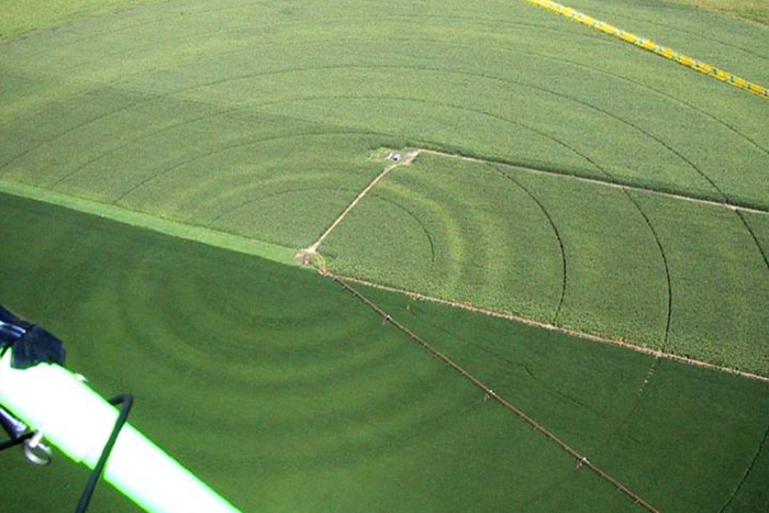
High-resolution NASA data on soil moisture is now available to farmers, researchers, meteorologists and others, thanks to a new tool developed by the U.S. Department of Agriculture’s National Agricultural Statistics Service (NASS) in collaboration with NASA and George Mason University (GMU).
The tool, Crop Condition and Soil Moisture Analytics (Crop-CASMA), provides access to high-resolution data from NASA’s Soil Moisture Active Passive (SMAP) mission and the Moderate Resolution Imaging Spectroradiometer (MODIS) instrument in a user-friendly format. Crop-CASMA is available for free online at https://cloud.csiss.gmu.edu/Crop-CASMA/.
According to Rajat Bindlish, a research associate in Earth science remote sensing at NASA’s Goddard Space Flight Centerin Greenbelt, Maryland, the tool provides more thorough spatial coverage and consistency than other soil moisture measurement methods.
“Soil moisture is a very important piece of information for agricultural yield and productivity,” said Bindlish. “This will provide a means of using NASA remote sensing data to guide predictions of moisture conditions and water availability. Information on the field conditions is important for agricultural operations.”
Some of Crop-CASMA’s primary users will be NASS researchers and statisticians who release weekly Crop Progress Reports that currently classify states into moisture categories (very short, short, adequate, surplus) to aid farmers and farm managers. The reports also track crops’ health and growing progress.
“USDA researchers and statisticians will incorporate the tool into a range of applications,” said NASS Spatial Analysis Research lead Rick Mueller. “For example, Crop-CASMA can help identify areas that could not be planted because of wet, saturated, frozen, excessively dry, or inaccessible fields resulting in improved planted statistical acreage estimates.”
Mueller noted that in addition to supporting agricultural operations, Crop-CASMA will enable research on sustainability and the impact of extreme weather events. “These satellite-derived vegetation condition indices and soil moisture condition maps show first-hand the ever-changing landscape of U.S. agriculture,” he said.
The tool is formatted to be accessible to private users, including farmers, researchers and students, according to Crop-CASMA project leader Zhengwei Yang, a USDA geographer and co-investigator of the High-Resolution Soil Moisture Development Project.
“We created an easy-to-use interface that requires little technical background to use,” said Yang. “There’s a tool to select an area and create a map you can save as a PDF, and you can also download data from the web to input into your model.”
This work was supported by NASA Applied Sciences’ Earth Science Division’s Western Water Applications Office (WWAO) and the NASA Terrestrial Hydrology Program. WWAO’s mission is to improve how water is managed in the arid western United States, and the tool is part of a portfolio of water projects that use the power of remote sensing to deliver new solutions on issues such as drought, snowpack, and water supplies.
“We know from our water partners in the western United States that there is a critical need for soil moisture data,” explained Indrani Graczyk, manager of WWAO. “This project was a great opportunity to partner with the USDA to get NASA data directly into the hands of farmers, and we were happy to support it.”
Share on social media:


3030 Clarendon Blvd. | Suite 300 | Arlington, VA 22201
Tel: 703.536.7080 | Fax: 703.536.7019
HOME | ABOUT US | ADVERTISE | SUBSCRIBE | CONTACT | PRIVACY POLICY | IA ANTITRUST STATEMENT