
NASA held a virtual media briefing on Oct. 21, to share OpenET, a new web-based platform designed to help those who rely on water resources across the drought-stricken western U.S.
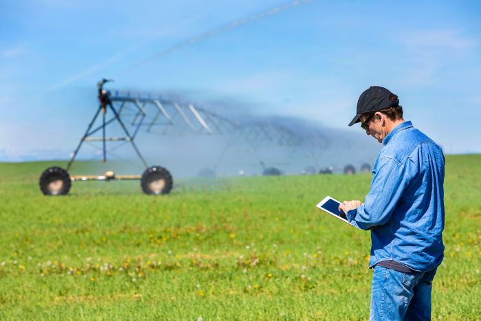
Building on more than two decades of research, OpenET puts NASA data into the hands of farmers, water managers, conservation groups and others to accelerate improvements and innovations in water management.
The briefing included the following participants:
OpenET uses publicly available data, open-source models, and Google Earth Engine to provide satellite-based information on water consumption in areas as small as a quarter of an acre at monthly and yearly intervals. OpenET measures evapotranspiration – the combined process by which water is transferred to the atmosphere through evaporation of surface water on land and transpiration of moisture from plants.
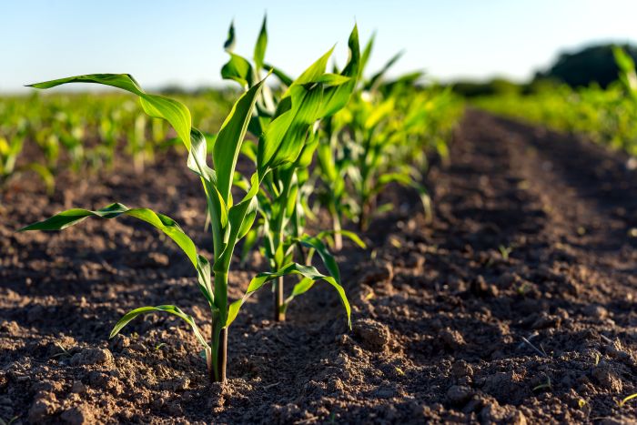
In the arid western United States, which is currently experiencing record levels of drought, having an accurate measure of evapotranspiration is critical to managing increasingly scarce water supplies. Prior to OpenET, there was no single, low-cost operational system for measuring and distributing evapotranspiration data at the scale of individual fields across the western U.S.
The cornerstone data for OpenET is from the Landsat program, a partnership between NASA and the U.S Geological Survey.
OpenET was developed through a public-private collaboration led by NASA, Environmental Defense Fund, the Desert Research Institute, Google, and HabitatSeven, with input from more than 100 stakeholders.
More information about OpenET is available at openetdata.org.
Share on social media:

3030 Clarendon Blvd. | Suite 300 | Arlington, VA 22201
Tel: 703.536.7080 | Fax: 703.536.7019
HOME | ABOUT US | ADVERTISE | SUBSCRIBE | CONTACT | PRIVACY POLICY | IA ANTITRUST STATEMENT