
In several states, researchers, agronomists and farmers are exploring how OpenET can support more informed water management decisions. Developed through a collaboration among NASA, the U.S. Geological Survey (USGS), the U.S. Department of Agriculture (USDA) and multiple U.S. universities, OpenET uses satellite imagery to estimate actual evapotranspiration (ET). That data provides users with field-level insights into crop water use and makes it available nationwide.
Much of the work to date has focused on California’s Salinas and San Joaquin Valleys, but researchers in Arizona are exploring how the technology might fit within their state’s existing irrigation management tools.
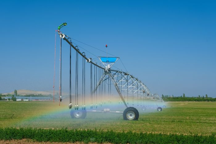
OpenET is a platform that uses satellite imagery and weather data to estimate crop water use across agricultural fields in 48 U.S. states. It provides field-level estimates of actual ET, which represents the water consumed through crop transpiration and soil evaporation. Unlike reference evapotranspiration reported by weather stations, actual ET reflects water use under real field conditions, accounting for factors such as crop type, growth stage, and management practices. These field-specific estimates help growers better understand crop water consumption and support more informed irrigation and water management decisions.
“In 2023, we began evaluating OpenET actual ET data following discussions with growers at a University of Arizona Extension event,” said Diaa Eldin Elshikha, Assistant Professor and Irrigation Specialist at the University of Arizona. “One of the key questions raised was how accurate the OpenET estimates are and whether the platform is ready to be used for crop evapotranspiration assessment.”
Motivated by this interest, Elshikha secured funding to conduct field-based evaluations of OpenET across different crops, irrigation systems, and soil types. The project was supported through the Water Irrigation Efficiency Program, funded by the State of Arizona.
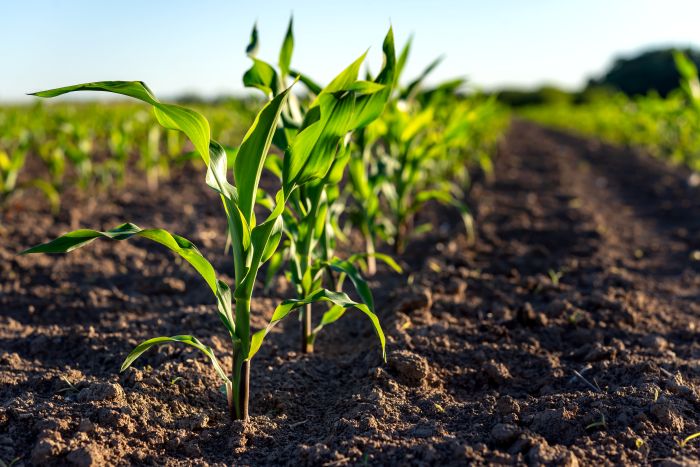
“Our research has focused on crops with relatively high-water demands, including alfalfa and cotton”, said Elshikha. “We also have ongoing trials in wheat, corn and other crops. All of these studies are being conducted in commercial growers’ fields, since OpenET is designed to provide estimates over larger agricultural areas.”
Jeffrey C. Silvertooth, PhD, professor and extension specialist in the agronomy/soil science Department of Environmental Science at the University of Arizona. Silvertooth said growers have likely heard about OpenET through consultants and companies offering services built around the platform. For him, the value of hearing discussions about OpenET was understanding what the tool can do — and its limitations.
“This program was a good informational link, just to what OpenET is, how it is working, what it can do, and the limitations associated with it,” Silvertooth said.
AZMET offers real-time insights alongside OpenET
Arizona, like a handful of other states, has an established meteorological network with nearly four decades of weather data. Paul Brown, PhD, emeritus professor and assistant dean for the University of Arizona Cooperative Extension, led the development of the Arizona Meteorological Network (AZMET). It now has close to 30 operating stations, mostly in southern Arizona. That real-time capability is one of the biggest distinctions Silvertooth sees between AZMET and OpenET.
“The parameters that they’re trying to capture with the OpenET system come in through satellite, so you’re always kind of looking backward, and there’s a time lag associated with getting that information,” Silvertooth said. “AZMET does all that in real time, and you can actually look at it right now today, see what’s happening today, or [access] yesterday’s data.”
For day-to-day irrigation scheduling, Silvertooth continues to favor weather-based management approaches that rely on Arizona’s established network, which is free to use.
“For direct management purposes and weather-based water management I really like the Arizona Meteorological Network, because I know it has good data [spanning 40 years],” he said. “The AZMET system is reliable and we can use it to check against OpenET outputs,” he said.
Like OpenET, the AZMET system is free to growers and irrigation districts, and is also open access, meaning it’s free to use. While he prefers that state system, he sees the potential for AZMET and OpenET to complement one another, particularly when it comes to checking model performance against field-based measurements, but he wouldn’t use it as a cure-all for water use estimates on a broad basis.
OpenET limitations
Elshikha said that in Arizona trials, some OpenET models showed reasonable agreement with field measurements, while others performed less consistently. Model performance also varied among crops, indicating that accuracy can depend on crop type and local conditions. Overall, however, the OpenET Ensemble, which is the average of their six models after excluding outlier estimates, appears to be a useful tool for tracking historical water use and supporting water management and planning decisions. Nevertheless, the OpenET platform and models still require further evaluation across different crops, management practices, and environmental conditions to better understand their reliability and limitations.
Silvertooth said that some important aspects of Western irrigation management are not fully captured in current OpenET. Salinity management, for example, often requires additional irrigation water to leach salts from the root zone. He added, “I think it [OpenET] has a useful utilitarian value,” he said. “One of my real concerns is that regulatory agencies will start picking up AI and OpenET and start saying, ‘You don’t get any more water than what OpenET says you need to have, or what was used last year for your crop.’ There are discussions out there like that, particularly out here in the West, and I have real concerns about how OpenET can be used or misused in the hands of regulators.”
Share on social media:
3030 Clarendon Blvd. | Suite 300 | Arlington, VA 22201
Tel: 703.536.7080 | Fax: 703.536.7019
HOME | ABOUT US | ADVERTISE | SUBSCRIBE | CONTACT | PRIVACY POLICY | IA ANTITRUST STATEMENT